 +86 13717134343




What Is Precision Agriculture and How Does It Work
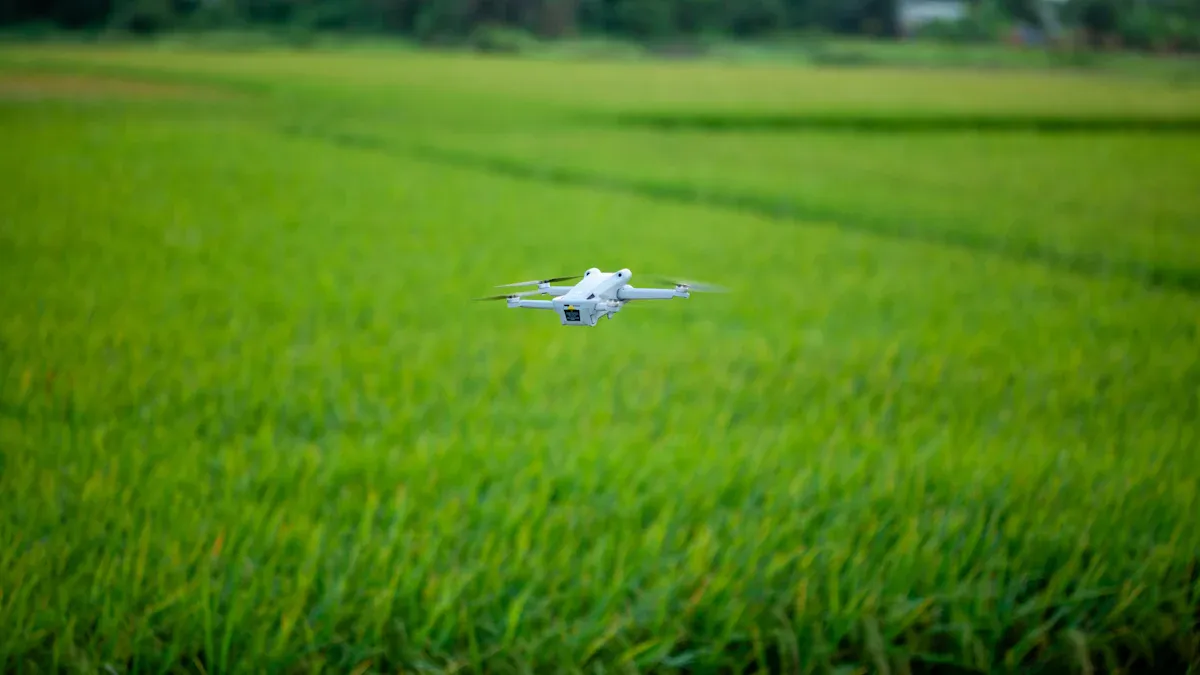
Pricision agriculture uses tools and practices to help you observe, measure, and respond to differences within your fields. The USDA describes pricision agriculture as a way to manage crops by recognizing that each part of your land can be unique. With technology like GPS and real-time data, pricision agriculture enables you to make smarter decisions for each area. This approach helps you save water, seeds, and fertilizer, boost your yields, and protect the soil. Farms of any size can benefit from pricision agriculture, supporting a more sustainable future for farming.
Key Takeaways
-
Precision Agriculture uses technology to observe, measure, and respond to different parts of your fields, helping you save resources and increase crop yields.
-
Collecting data with tools like sensors, drones, and GPS lets you understand your soil and crops better, so you can make smarter farming decisions.
-
Using software and analytics helps you analyze field data, create management zones, and apply seeds, water, or fertilizer only where needed to boost efficiency.
-
Advanced tools like GPS-guided tractors, drones, and IoT devices improve accuracy, reduce waste, and protect the environment by lowering chemical and water use.
-
Starting with small steps, learning continuously, and using available training and support can help you overcome challenges and enjoy the benefits of Precision Farming.
How It Works
Precision agriculture helps you manage your fields by focusing on three main steps: observing, measuring, and responding to what is happening in different parts of your land. You use technology to collect detailed information, analyze it, and then take action to improve your crops and use resources wisely. This approach lets you treat each part of your field based on its unique needs, which can boost your yields and save money.
Data Collection
You start by gathering data from your fields. This step is important because it gives you the information you need to make smart decisions. You can collect many types of data, such as soil conditions, crop health, weather, and how your machines are working. Here is a table that shows the main types of data you might collect in precision agriculture:
|
Data Type |
Examples and Description |
|---|---|
|
Agronomic Data |
Yield, as-planted data, soil type, soil fertility, pesticides and fertilizer applied, scouting info. |
|
Prescription Data |
Data for creating maps for variable rate seeding, fertilization, and pest control. Includes soil nutrients and moisture. |
|
Machine Data |
Information from sensors on tractors and other equipment, like engine speed, fuel use, and GPS location. |
|
Remotely Sensed Imagery |
Images from satellites or drones, including visible, infrared, and NDVI, to monitor crop health and estimate yields. |
|
Production Data |
Weather, growing degree days, planting dates, market info, and farm notes. |
You can use several tools and methods to collect this data:
-
Soil sampling and analysis help you understand nutrient levels and pH.
-
Remote sensing uses satellites and drones to check crop health and spot problems like pests or disease.
-
Sensors and IoT devices measure soil moisture, temperature, and other conditions in real time.
-
Mobile apps let you record field activities and observations right from your phone.
-
Weather stations track rainfall, temperature, and humidity.
-
GPS and GIS systems map your fields and help you see differences across your land.
These technologies give you accurate, up-to-date information. For example, GPS and GNSS help you map your fields with high precision. Drones and satellites provide detailed images so you can spot trouble areas quickly. Sensors in your fields send real-time data about soil and crops. All this information helps you understand what is happening in every part of your field.
Analysis and Action
Once you have collected data, you need to make sense of it. You use software tools and data analytics to clean, organize, and study the information. This step helps you find patterns and spot problems or opportunities. For example, you might notice that some areas of your field have lower yields or need more water.
You can use advanced tools like machine learning models and predictive analytics to help you make decisions. These tools can forecast crop yields, suggest the best time to plant, or recommend how much fertilizer to use. Some models, like the Transformative Crop Recommendation Model, can reach up to 94% accuracy in giving crop advice.
Here is how you might use your data to take action:
-
Create management zones in your field based on soil or crop differences.
-
Apply seeds, fertilizer, or water only where needed, using variable-rate technology.
-
Adjust your irrigation system to save water and energy.
-
Use decision support systems to reduce pesticide use and manage resources better.
Tip: Data-driven decisions can help you increase crop yields by 20% to 150%, save up to 27% on water, and improve irrigation efficiency by nearly 88%. Smart systems can also cut energy use by more than half.
You can see the results of your actions by tracking changes in your fields over time. This feedback helps you keep improving your farming practices. By using precision agriculture, you make your farm more efficient, productive, and sustainable.
Precision Agriculture Technologies
Modern farming uses many advanced tools to help you manage your fields more effectively. These technologies give you the power to see what is happening in your crops and soil, so you can make better decisions every day.
GPS and Mapping
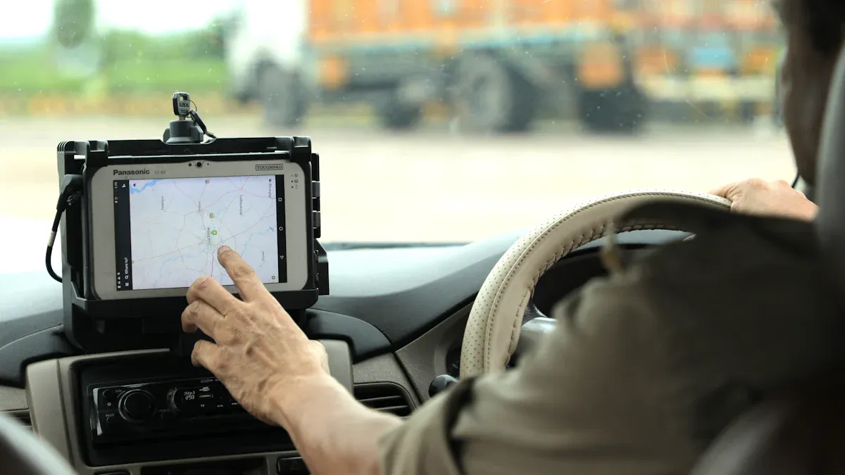
GPS and mapping systems help you know exactly where you are in your field. With these tools, you can plant, spray, and harvest with high accuracy. Here is a table showing some of the most popular GPS systems and how they help you manage your farm:
|
GPS System Name |
Accuracy Level |
Core Features |
Benefits for Field Management |
|---|---|---|---|
|
Trimble GFX-350 + NAV-900 |
Sub-inch (1–2.5 cm) |
Auto-steering, Variable Rate Technology (VRT), yield monitoring, field mapping |
Ultra-precise planting and spraying, less input waste, higher yield, automated guidance |
|
John Deere StarFire SF3/SF4 |
Sub-meter to decimeter |
Full integration with John Deere machinery, variable rate control |
Reliable guidance for large fields, better efficiency, precise input application |
|
Garmin GPSMAP Series |
Portable handheld units |
Field scouting, property boundary location |
Affordable mapping for small and medium farms, resource tracking |
|
Ag Leader GPS & Guidance |
Real-time data streaming |
Touch interface, compatibility with various implements |
Easy GPS guidance and data collection for many farm types |
|
NovAtel SMART6-L |
Sub-decimeter accuracy |
Multi-constellation receiver, automation-ready |
Supports autonomous tractors and drones, future-ready farms |
You can use GPS to map your fields, guide your tractors, and apply seeds or chemicals only where needed. This reduces overlap and missed spots, saving you money and protecting the environment. Many farmers see input savings of 10–30% and more consistent yields by using GPS-guided equipment.
Drones and Imaging
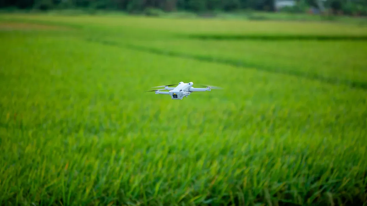
Drones and satellite images let you see your fields from above. Drones use special cameras to spot early signs of disease, pests, or water stress. Satellite images help you track changes over time and cover large areas quickly.
|
Aspect |
Description |
|---|---|
|
Drone Sensors |
High-resolution RGB, multispectral, and thermal sensors find disease, pests, nutrient problems, and water stress early. |
|
Satellite Imagery |
Shows big-picture trends and seasonal changes across your whole farm. |
|
Vegetation Indices |
NDVI and other measures help you check plant health and water needs. |
|
Finds problems and predicts yields by analyzing drone and satellite data. |
Drones help you act fast. You can spot trouble before it spreads, apply treatments only where needed, and save on water, fertilizer, and chemicals. This leads to healthier crops, lower costs, and less waste.
Sensors and IoT
Sensors and IoT devices collect real-time data from your fields. You can use soil sensors to check moisture, pH, and nutrients. Weather sensors track rainfall, temperature, and humidity. Crop sensors watch for growth, disease, and stress. Livestock sensors monitor animal health and location.
-
Soil sensors guide you on when and how much to water or fertilize.
-
Weather sensors help you plan fieldwork and protect crops from bad weather.
-
Crop sensors alert you to problems early, so you can act fast.
-
IoT devices automate irrigation, feeding, and even greenhouse controls.
These tools help you use resources wisely and keep your farm running smoothly.
Software Tools
Software brings all your data together. Farm management software lets you track planting, spraying, and harvests. Smartphone apps give you field maps, weather updates, and pest alerts right in your hand. AI platforms predict yields, suggest the best times to plant or irrigate, and help you spot problems before they get worse.
|
Software Tool Category |
Key Features and Benefits |
|---|---|
|
Farm Management Software |
Organizes data, plans tasks, tracks inputs, and manages finances. |
|
Smartphone Applications |
Offers field mapping, crop monitoring, and real-time updates. |
|
AI & Machine Learning Platforms |
Predicts yields, disease risks, and gives advice for better decisions. |
|
Data Management Systems |
Monitors soil and plant health, reducing waste and improving growth. |
|
Satellite-Based Crop Monitoring |
Provides instant crop health data without extra sensors. |
You can use these tools to make smarter choices, save time, and boost your profits. By combining GPS, drones, sensors, and software, pricision agriculture helps you grow more with less and protect your land for the future.
Benefits and Challenges

Efficiency and Productivity
You can boost your farm’s efficiency and productivity with pricision agriculture. Here are some ways this happens:
-
Remote sensors and drones give you detailed data about your crops and soil.
-
GIS technology helps you see the big picture of your field conditions.
-
GPS-guided tractors and automated irrigation systems save you time and reduce mistakes.
-
Mobile apps let you make quick decisions in the field.
-
Site-specific management, like precision planting and variable rate fertilizer, helps you get more from every acre.
|
Technology Type |
Estimated Yield Increase (%) |
Key Benefits |
|---|---|---|
|
Satellite Imagery & Remote Sensing |
10 – 25% |
Real-time crop/soil insights, early stress detection |
|
AI-Based Forecasting & DSS |
12 – 30% |
Yield prediction, resource planning, risk mitigation |
|
Soil & Crop Sensors |
8 – 21% |
Improved irrigation/fertilization, water savings |
|
Drones (Monitoring & Input) |
13 – 23% |
Targeted pesticide/fertilizer application, labor savings |
|
Variable Rate Technology (VRT) |
10 – 18% |
Input savings, uniform crop development |
You can expect yield increases of 10–30% when you use these tools, depending on your crops and local conditions.
Cost and Resource Use
Pricision agriculture helps you save money and use resources wisely. Smart technologies like soil sensors, precision seeding, and automated irrigation let you apply water, fertilizer, and pesticides only where needed. This reduces waste and lowers your input costs. For example, AI-powered irrigation can cut water use by up to 40%. Variable rate fertilization can improve placement efficiency by 7% and may reach up to 21% reduction in water use with full adoption. These savings add up, making your farm more profitable and sustainable.
Environmental Impact
You protect the environment when you use pricision agriculture. Targeted spraying can reduce chemical use by as much as 90%. This means less runoff into rivers and healthier soil. You also help pollinators and beneficial insects by avoiding blanket pesticide applications. Data-driven irrigation conserves water and keeps your soil fertile. Studies show that these practices can avoid millions of metric tons of CO2 emissions and save millions of gallons of fossil fuel each year. You support biodiversity and long-term soil health by using these smart methods.
Barriers to Adoption
You may face some challenges when starting with pricision agriculture, especially if you run a small or medium-sized farm. The main barriers include:
-
Concerns about data privacy and trust in recommendations
-
Limited access to credit, technical support, and training
-
Smaller farm size, which can make it harder to afford new tools
Note: Many farmers say, “Funds are limited. Technology is great if it is affordable for all.” Cooperative models, subsidies, and simple, practical tools can help you overcome these barriers.
Getting Started
Steps to Implement
You can begin your journey with precision farming by following a few clear steps:
-
Assess your needs and goals. Think about what you want to improve on your farm, such as yield, water use, or input costs.
-
Collect data. Start with field scouting, soil sampling, or using sensors and satellite images to gather information about your land.
-
Organize your data. Use digital platforms or farm management apps to store and review your findings.
-
Make decisions. Look at your data to spot patterns or problem areas. Decide where to focus your efforts.
-
Take action. Apply seeds, fertilizer, or water only where needed. Use variable rate technology or GPS-guided equipment if possible.
-
Review and adjust. Track your results and make changes as you learn what works best.
Tip: Training your team to record and share observations helps you get the most from your data.
Tips for Success
You can boost your results by following these practical tips:
-
Update your farm management apps and review past yield data.
-
Calibrate your equipment, like yield monitors and GPS systems, for accurate results.
-
Use satellite images and NDVI data to check field performance.
-
Create custom input plans for different zones in your fields.
-
Scout your crops often and use sensors to catch problems early.
-
Plan your harvest routes and manage your equipment for better efficiency.
-
Watch the weather and adjust your plans to avoid damage.
-
Use auto-steering and yield mapping during harvest to reduce waste.
-
Analyze your yield maps after harvest to find ways to improve.
-
Keep learning about new tools and work with experts when needed.
Avoid common mistakes like skipping planning, expecting instant results, or using poor data. Take your time and use expert help when needed.
Real-World Use
Many farms have seen strong results with these methods. Here are some examples:
|
Farm Size (acres) |
Technology Used |
Yield Increase (%) |
Cost Reduction (%) |
|---|---|---|---|
|
10,000 |
GPS-guided equipment, VRT |
12 |
15 |
|
8,000 |
Drip irrigation, soil moisture sensors |
10 |
20 |
|
12,000 |
Drone-based crop monitoring |
8 |
12 |
A 500-acre California farm used precision irrigation and soil sensors. They saw a 15% jump in yields and saved 20% on water. In Australia, a farm used autonomous equipment and cut labor costs by 30% while raising productivity by 20%.
Many universities and government programs offer funding, training, and support to help you get started. Working with other farmers can also lower costs and speed up learning.
You can use technology to make your farm more efficient and productive. Tools like sensors, drones, and software help you save water, reduce costs, and protect the environment. Some challenges exist, such as cost and learning new skills. Many farmers find that the benefits are worth it. If you want to learn more, check out local farm groups or university extension programs.
FAQ
What is the main goal of precision agriculture?
You use precision agriculture to grow more food with fewer resources. This method helps you save water, fertilizer, and time. You can also protect the environment and improve your farm’s profits.
Do small farms benefit from precision agriculture?
Yes, you can use precision agriculture on small farms. Many tools, like mobile apps and simple sensors, work well for smaller fields. You do not need expensive equipment to get started.
Is precision agriculture hard to learn?
You can start with basic tools and learn as you go. Many companies and farm groups offer training. You can also find easy-to-use apps and guides online.
How much does precision agriculture cost?
Costs vary. You can start with free or low-cost apps and basic sensors. Advanced tools, like drones or GPS-guided tractors, cost more. Many farmers begin small and add new tools over time.